Forestry & Wildfire Monitoring

Protect our forests with UAV technology

As wildfires grow in complexity and our natural resources are put at risk, it’s more important than ever to conserve and care for our forests. Yet, doing so through a manual approach is inefficient, costly, and dangerous. The SEEKER eliminates these challenges by providing safe, effective aerial support for forestry and wildfire management.

Deploy the Seeker to support wildfire containment

With thermal sensors, optical zoom cameras, and more, the SEEKER is built to streamline wildfire responses with payload modules made for easy detection and containment.

Manage environmental risks with robust data collection capabilities.

Real-time data transmission, dual GPS, and user-friendly ground control systems ensures your team has the imagery and information it needs to stay ahead of the curve and be prepared for potential dangers.

Seeker-Action-28

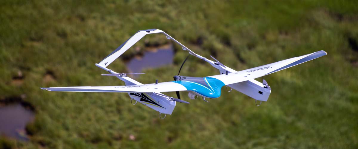
Capture real-time data for impactful decision-making

Monitor terrain changes, tree population, high-risk areas, and more with the SEEKER’s advanced data collection and analysis tools.

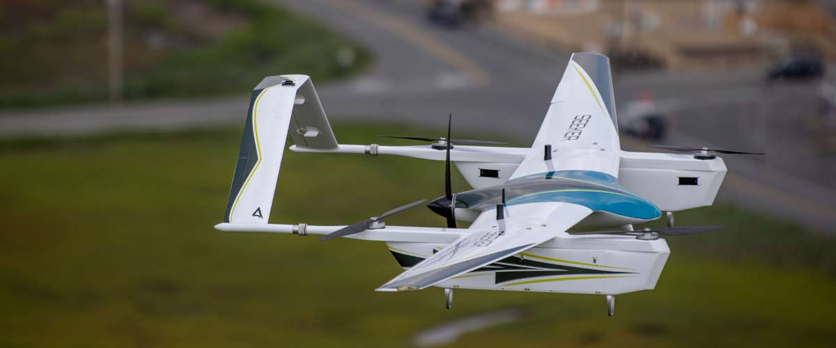
Automated flight planning for safe and efficient operations
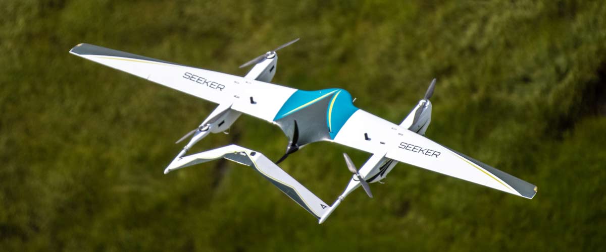
Cutting-edge payload modules for surveying and mapping with precision
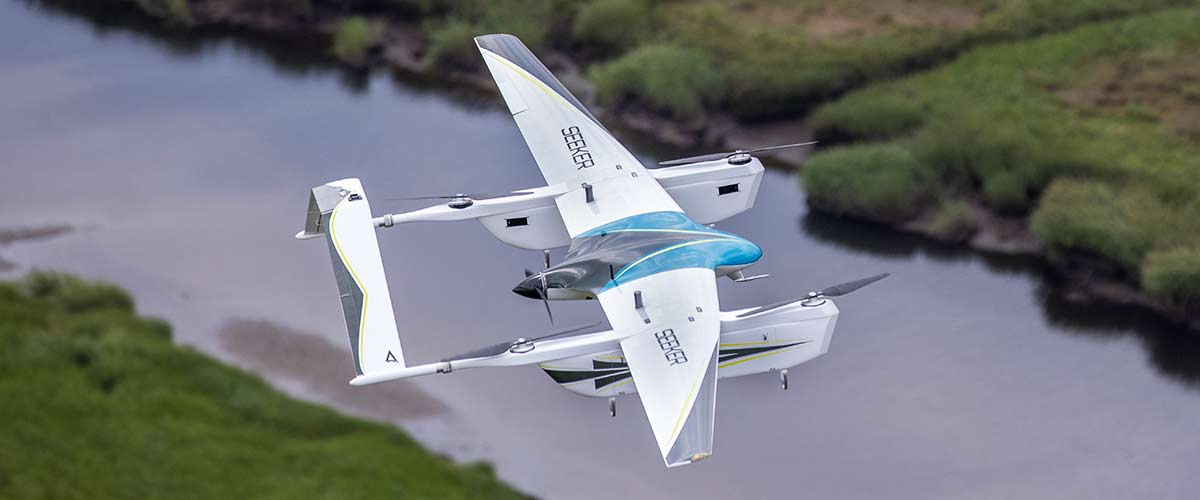
Long-range data link transmission provides instantaneous data

Detect and extinguish wildfires with less risk

With a payload lift capacity of over 7 pounds, the SEEKER can be equipped with the modules it needs to collect topographic data, predict fire routes, and transport water to emergency sites.

Easily access
hard-to-reach places

Vertical take-off and landing (VTOL) capabilities allow the SEEKER to navigate through dangerous terrain and other spaces that are too risky for personnel.

Start flying
sooner and faster

With an assembly time of less than three minutes and top speeds of 70 mph, the SEEKER wastes no time getting to work, potentially saving acres of forest land.

Flexible
light routes

Offering both automated and manual flight planning, the SEEKER is adaptable to any situation — an essential feature for operating in unpredictable situations.

Preserve the future of forestry with the SEEKER

Wildfires, erosion, droughts, and other natural disasters threaten the future of our forests, but modern technology has presented vital solutions to safeguard our precious resources. The SEEKER is the leading answer to the ongoing challenge of forestry conservation.

Maintain controlled burns

Prescribed fires are a beneficial way of reducing the risk of wildfire spread, but can still be risky if not managed properly. With eyes in the sky, the SEEKER can further reduce hazards and ensure safety for the fire team on the ground.

Gather data for preventative measures

Effective forest preservation requires a proactive approach. With the SEEKER’s innovative design and customizable payload, forestry professionals can detect warning signs in the land with photogrammetry, LiDAR, and sensor technology.

Less time, less labor, less risk = More results

Let the SEEKER monitor forest land and assess risky situations, keeping your team safe and focused on data analysis. With less manpower allocated to manual inspections and surveys, your team can dedicate their attention to strategic planning and research to better maintain forest sustainability.

Up to two hours on a single charge

Cover hundreds of acres in a single mission, significantly reducing the time it takes to inspect and collect data on forests of all sizes.

A carbon fiber airframe made to last

Built with durable carbon fiber and high-quality mechanical and electrical components, the SEEKER will be a vital investment in aerial technology for years to come

Customizable payload to suit your needs

The SEEKER's 15-foot wingspan supports a payload capacity of over 7 pounds, providing you with the freedom to equip it with the aerial tech vital for forestry management.

Gather data from up to 12+ miles away

Access data in real-time from a stationary ground control point, allowing operators to make important decisions before it’s too late.

Request More Information